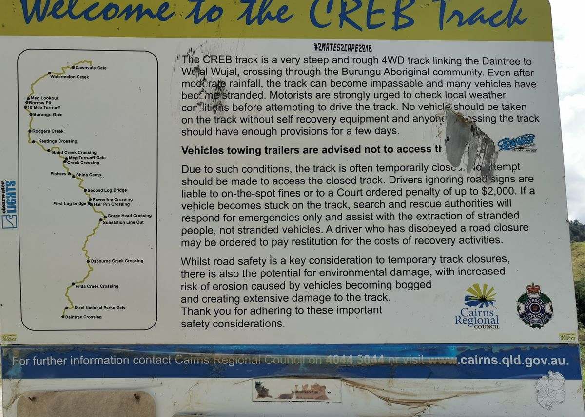
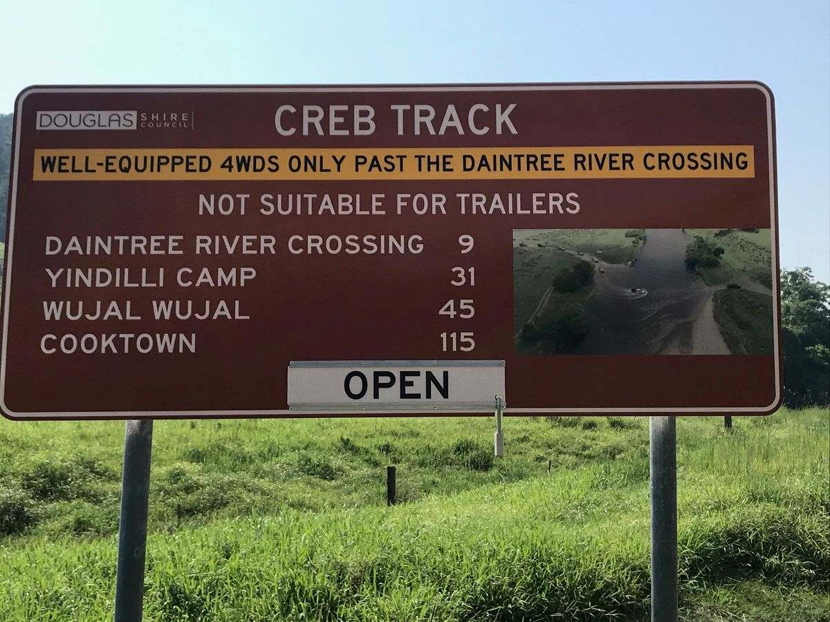
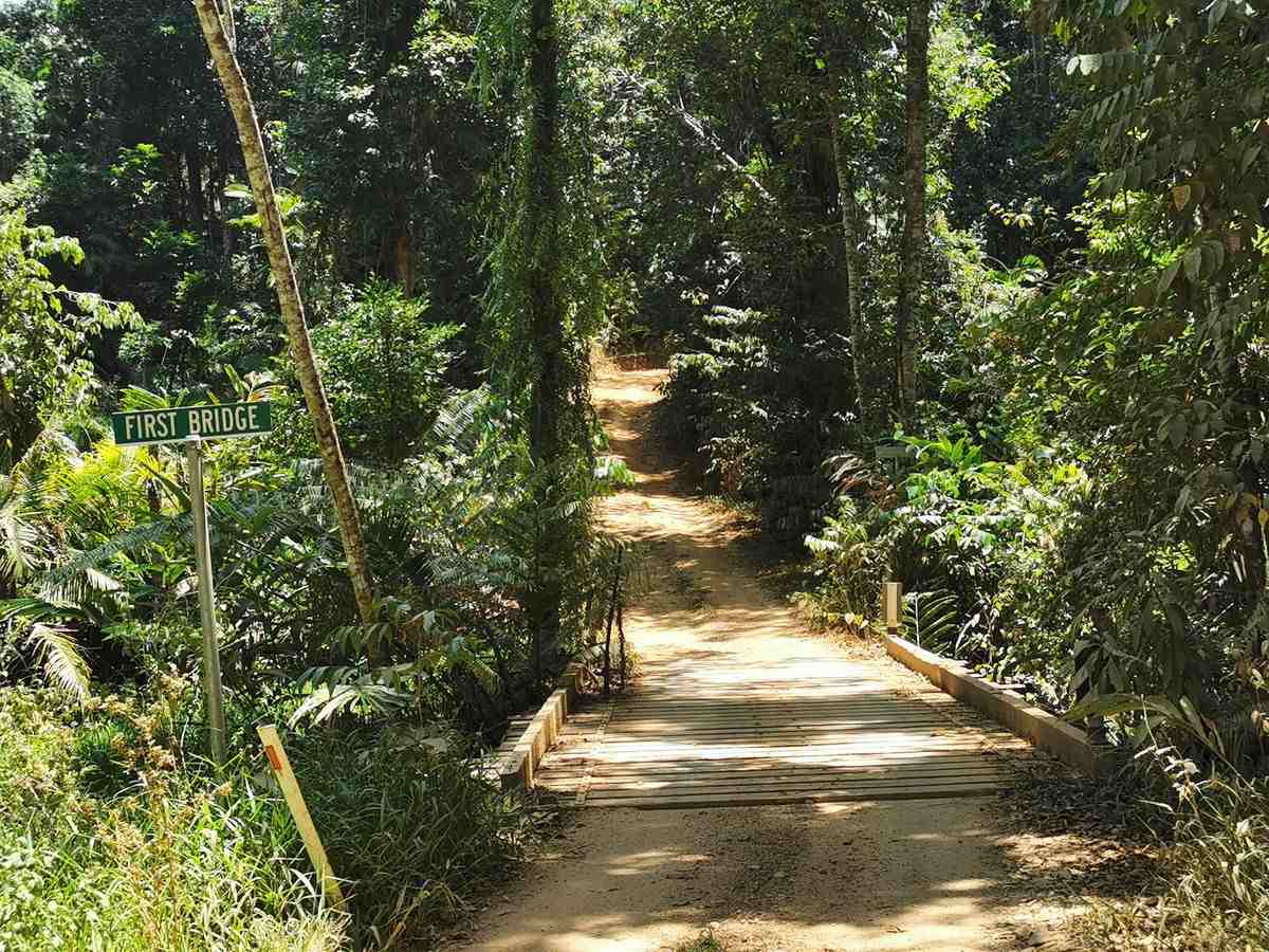
The CREB track used to be the original service track for the powerline to Cooktown. It’s now part of the Cape York experience for the more adventurous.
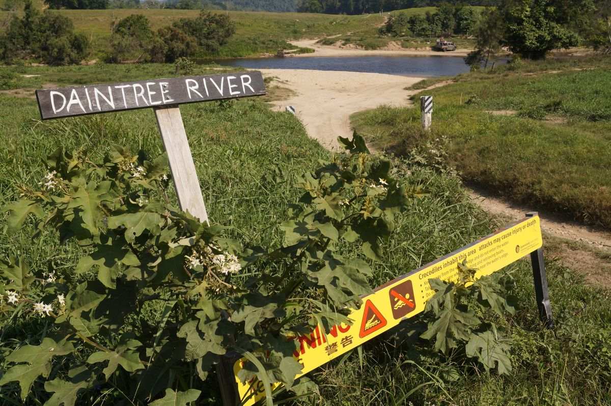
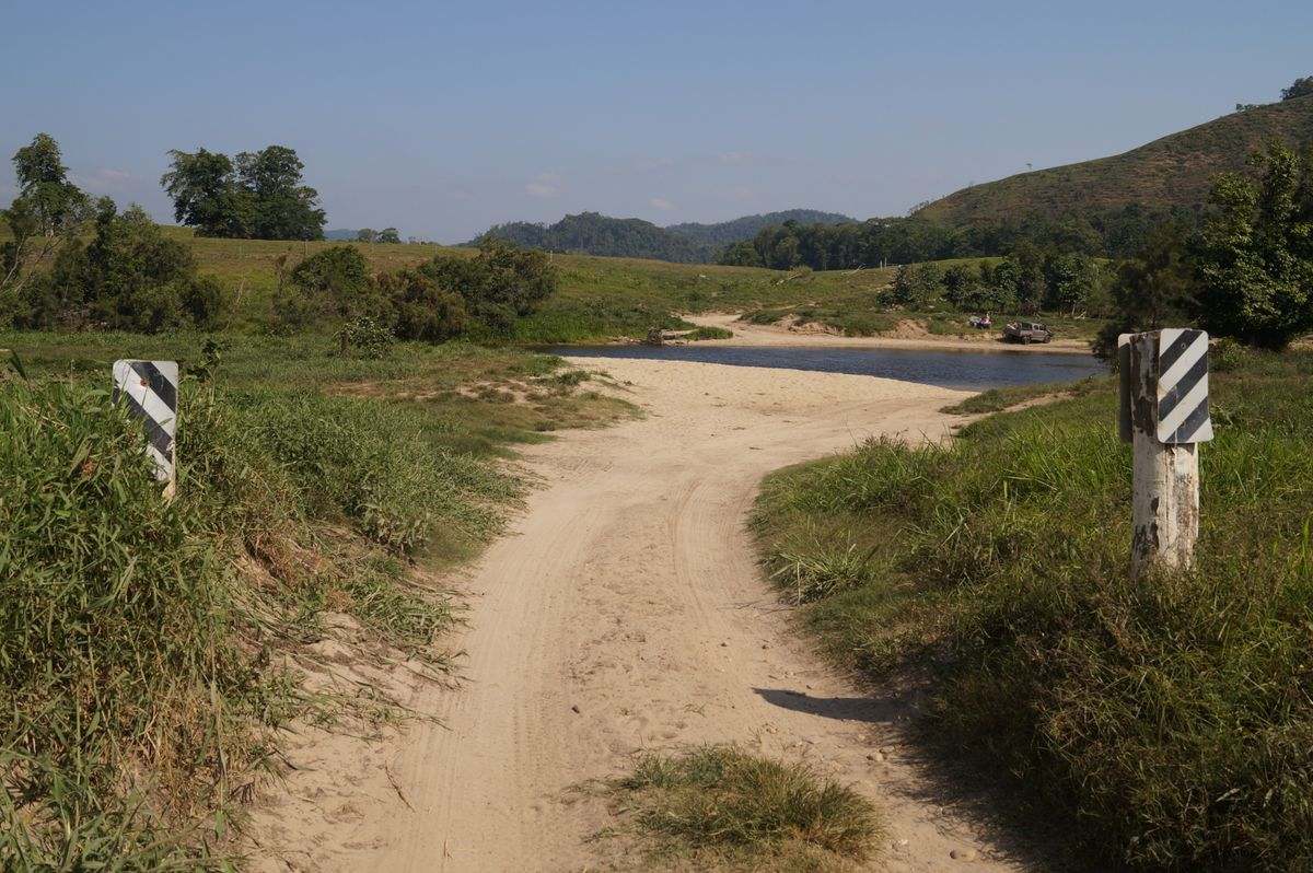
The total length of the track is 71kms. Your first challenge is to cross the Daintree River. And the higher the water level is the more challenging.
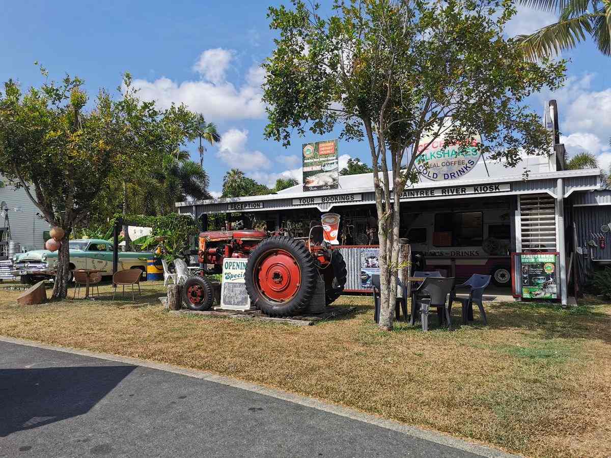
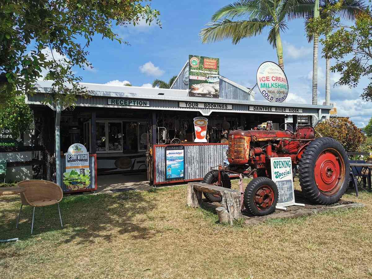
To access the CREB from the South, head up the Cook Highway to Daintree Village.
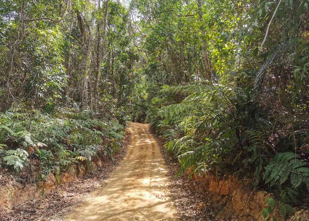
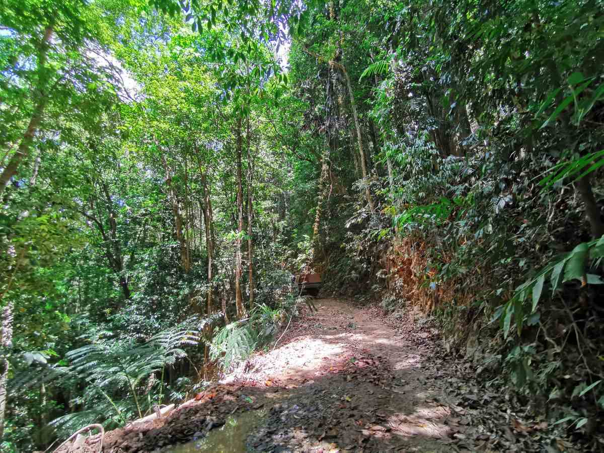
If you are doing the CREB from the south it is up and down for the first half. And it is steep and rough so your top speed will be about 15 to 20kph. You can tow a camper but it may be hard going.
This track is best done in the dry season for good reason. When it’s wet it can be like driving on ice due to the red clay. Doing it during the dry season it’s relatively easy.
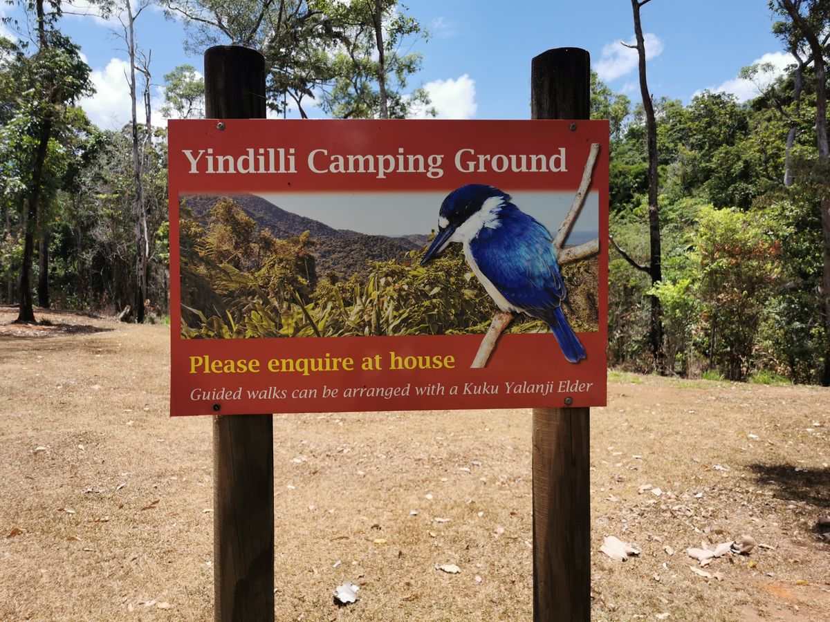
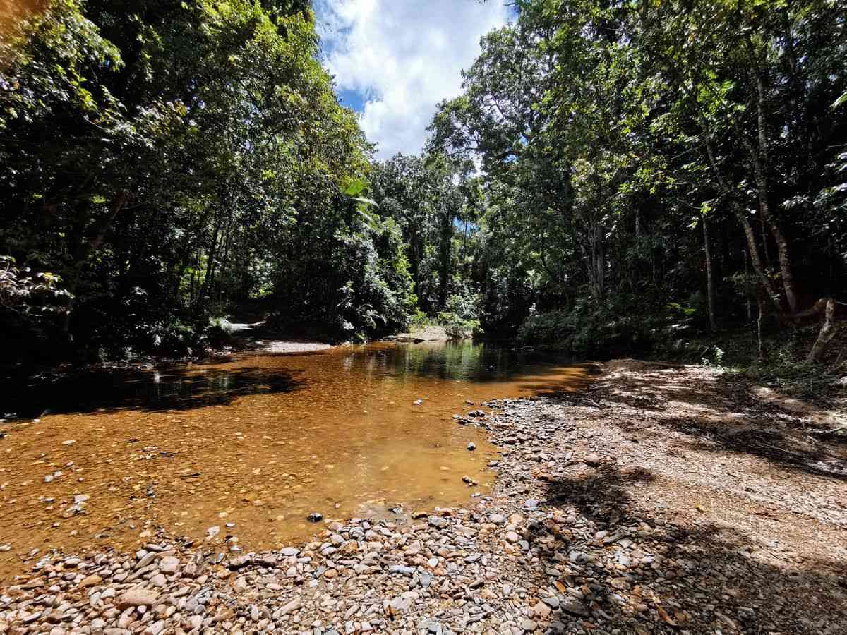
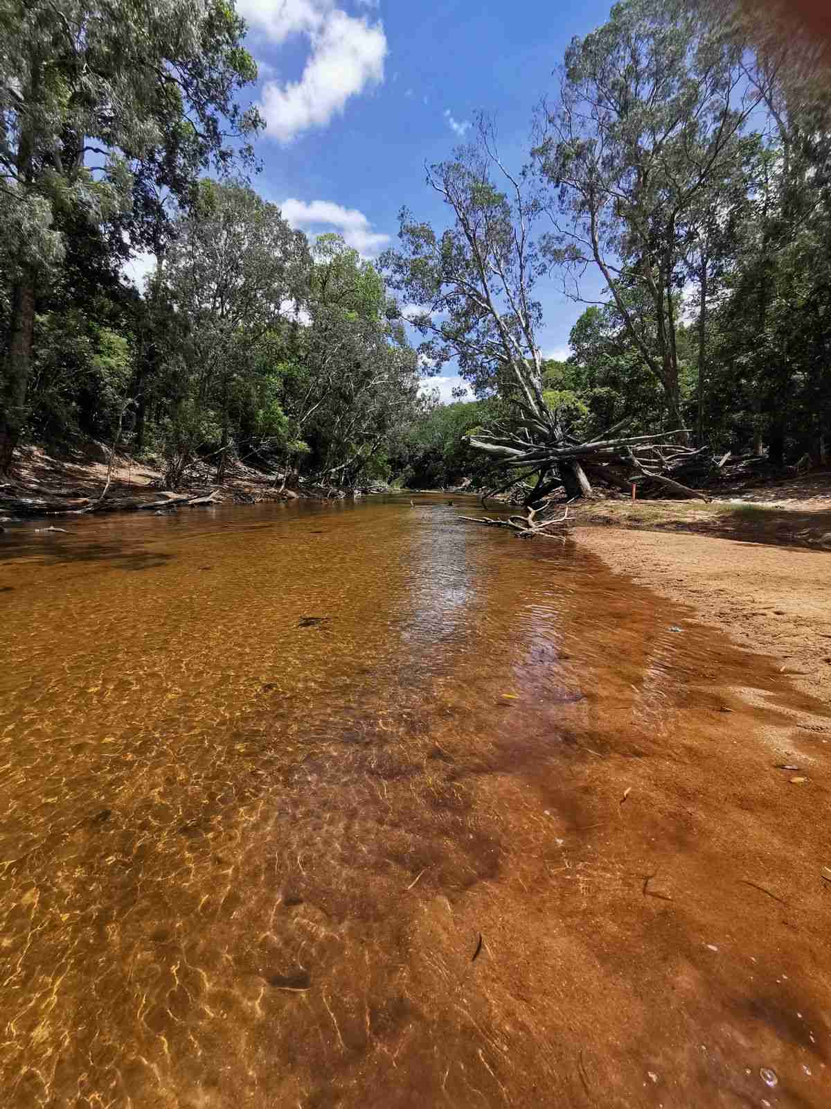
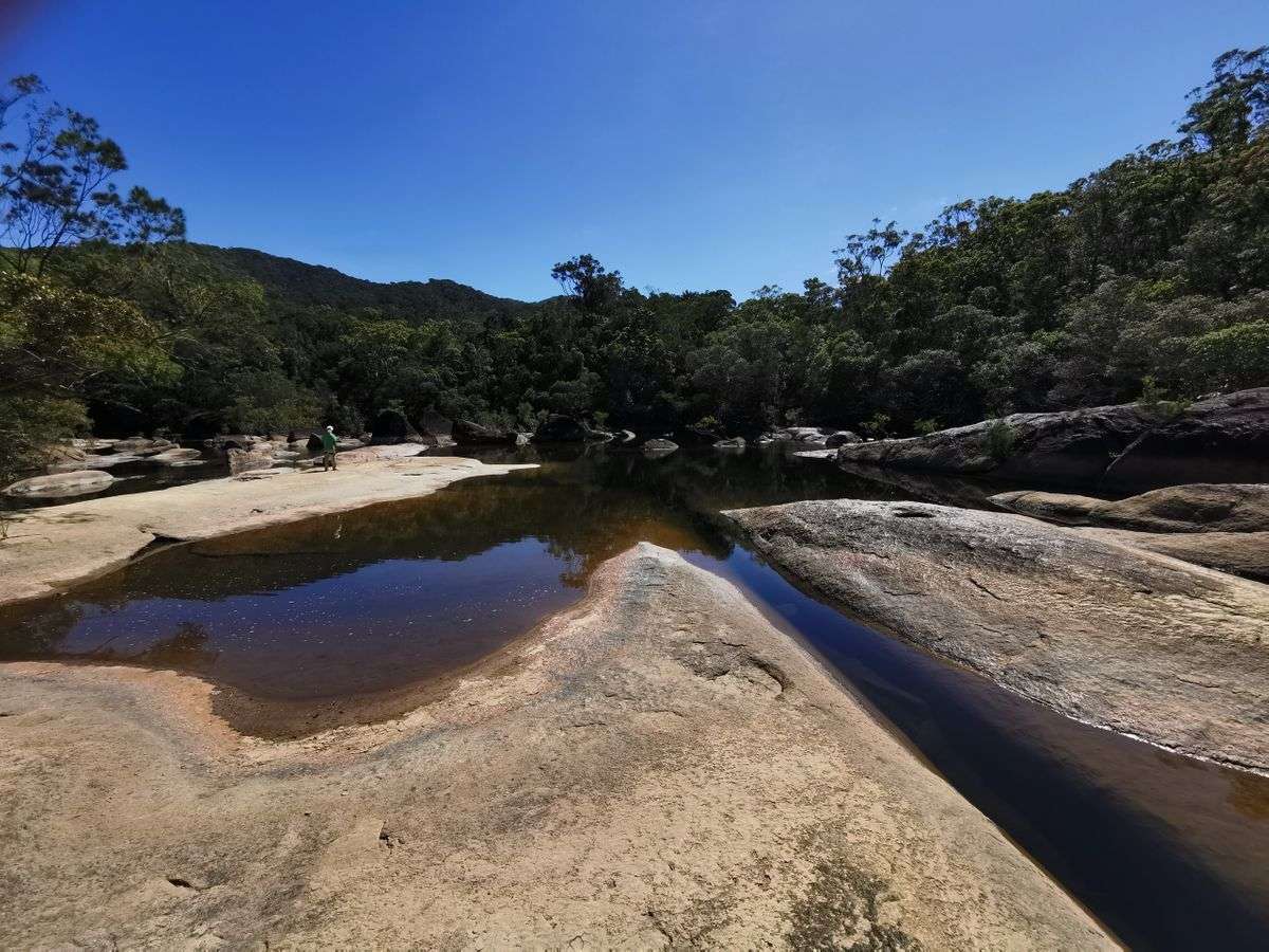
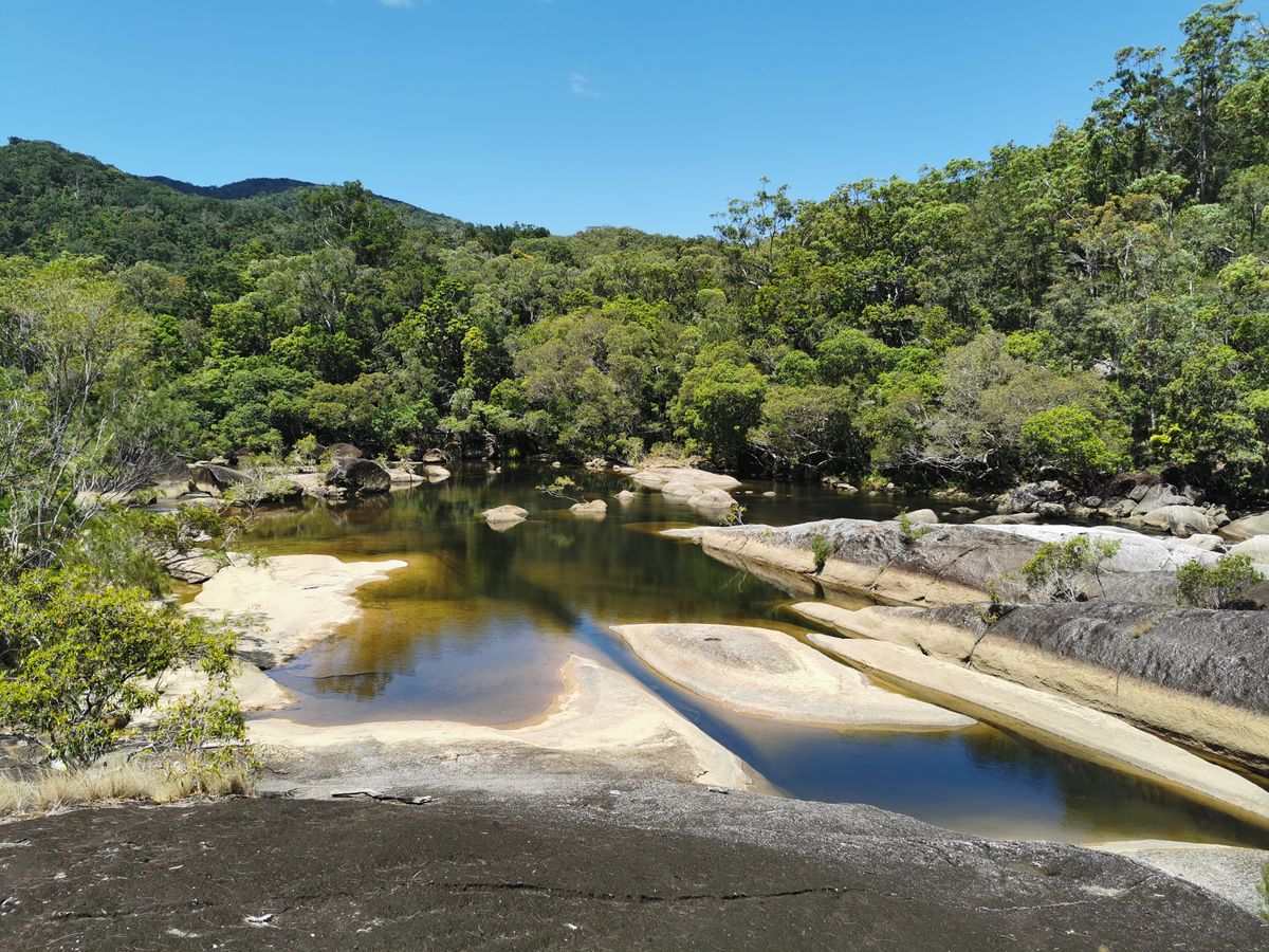
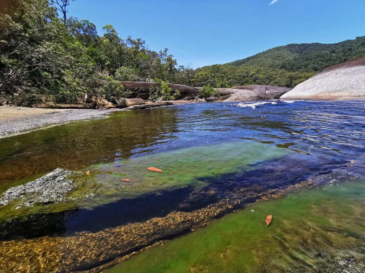
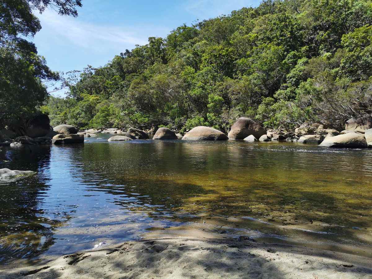
Two hours north along the CREB, or a 1 hour drive south from Wujal Wujal, brings you to Yindilli Camping Ground. This camp ground is on Baird Creek and is a must do.
The traditional owner Colin, CJ Fisher, a Kuku Yalanji Elder and Buru Traditional Owner, provides excellent cultural tours. You can contact Colin ‘CJ’ and Helen Fischer on +61 (0)7 4098 6248
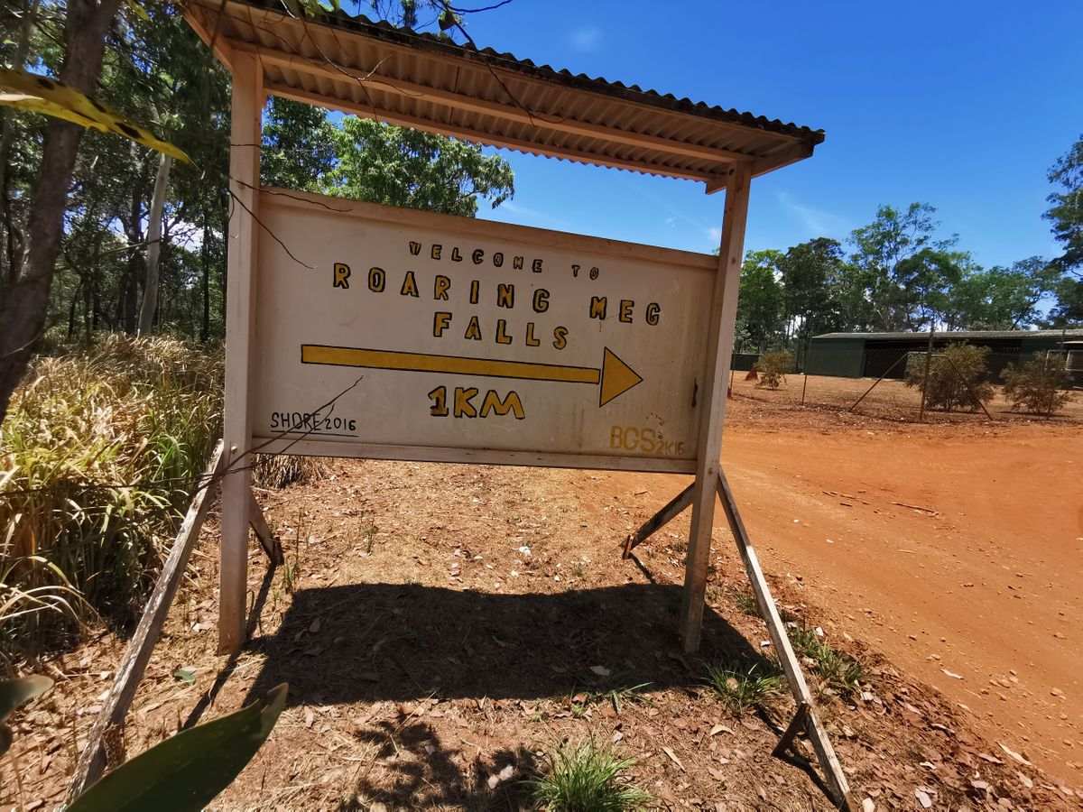
Roaring Meg Falls
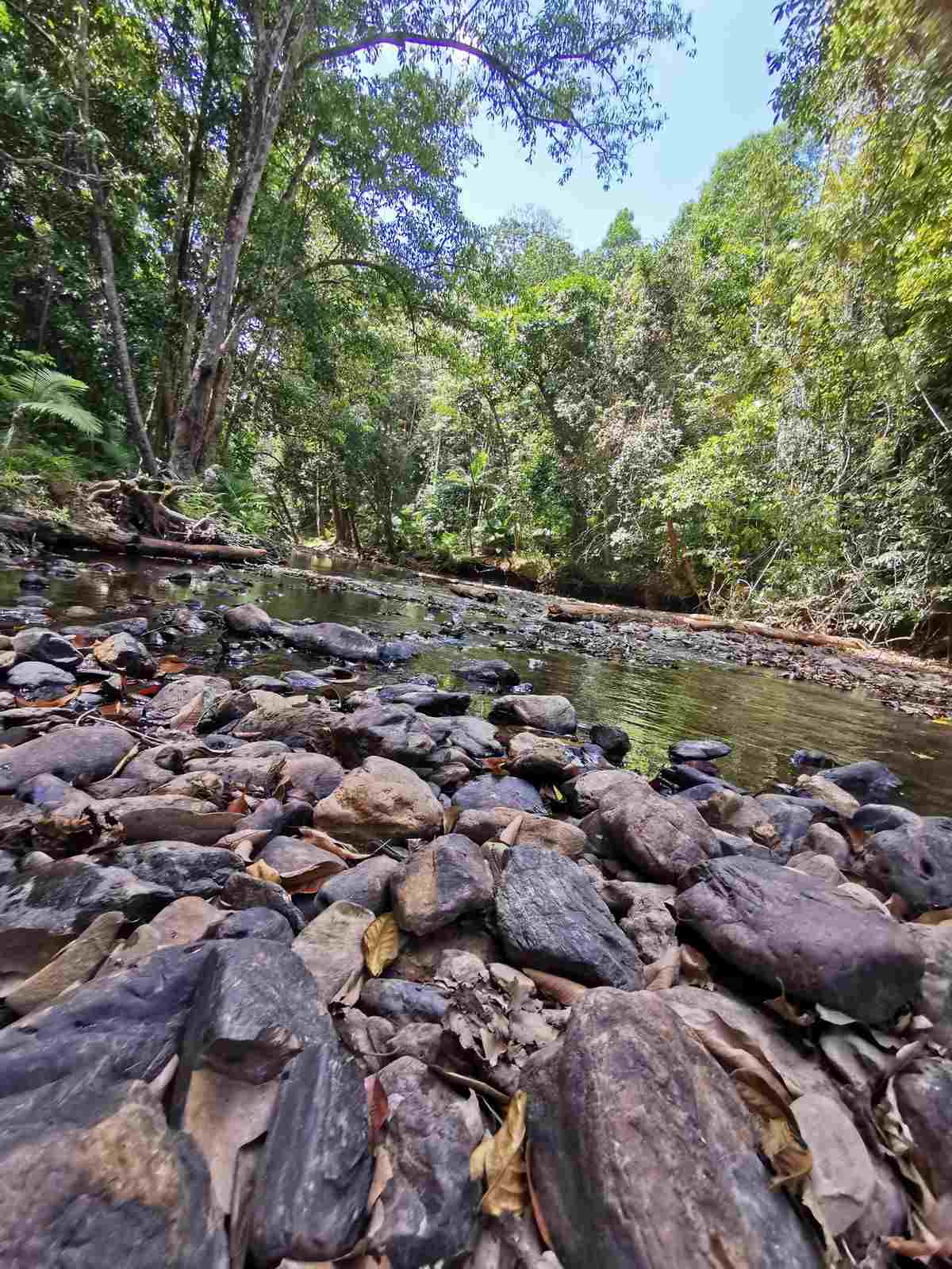
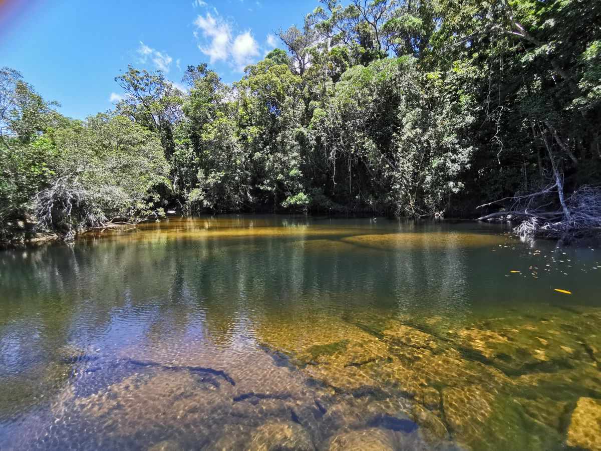
Roaring Meg Falls (Kija), is at the headwaters of the Bloomfield River. The Falls can be accessed via China Camp Road, north of the Bloomfield track exit.
The Falls holds special significance for the Buru. Please take note of the rules and respect the wishes of the traditional owners.
Steep & Rough
If you are doing the CREB from the south it is up and down for the first half. And it is steep and rough so your top speed will be about 15 to 20kph. You can tow a camper but it may be hard going.
This track is best done in the dry season for good reason. When it’s wet it can be like driving on ice due to the red clay. Doing it during the dry season it’s relatively easy.
Two hours north along the CREB, or a 1 hour drive south from Wujal Wujal, brings you to Yindilli Camping Ground. This camp ground is on Baird Creek and is a must do.
The traditional owner CJ Fisher, a Kuku Yalanji Elder and Buru Traditional Owner, provides excellent cultural tours. You can contact CJ Fisher on +61 (0)7 4098 6248
Roaring Meg Falls
Roaring Meg Falls (Kija), is at the headwaters of the Bloomfield River. The Falls can be accessed via China Camp Road, north of the Bloomfield track exit.
The Falls holds special significance for the Buru. Please take note of the rules and respect the wishes of the traditional owners.
At the northern end you come out at Wujul Wujul which is an Aboriginal Community. Please remember that alcohol limits apply.
Homerule
Homerule Rainforest Camping & Lodge is set on 100 acres and is crocodile free. There is a short walk to the Homerule Falls which are stunning.
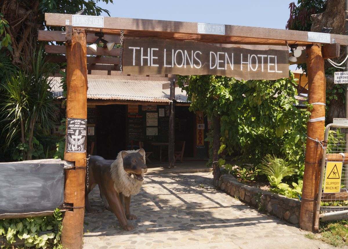
Lions Den
Just south of the Mulligan Highway intersection you’ll find Helenvale and the Lions Den Hotel. It’s an iconic pub with history dating back to 1875. You will find a good feed and great entertainment.
There are powered and unpowered sites. For those wanting to spend longer there are safari tents and dongas.
Mulligan Highway
Once you hit the Mulligan you have two choices. Go east and explore the Cooktown Region. Or goes west and head to Lakeland and the start of the PDR.
From here you will have a winding and picturesque scenic drive through rainforest. And then you continue north towards the Mulligan Highway and Cooktown.
Wujul Wujul
At the northern end you come out at Wujul Wujul which is an Aboriginal Community. Please remember that alcohol limits do apply.
Homerule
Homerule Rainforest Camping & Lodge is set on 100 acres and is crocodile free. There is a short walk to the Homerule Falls which are stunning.
Lions Den
Just south of the Mulligan Highway intersection you’ll find Helenvale and the Lions Den Hotel. It’s an iconic pub with history dating back to 1875. You will find a good feed and great entertainment.
There are powered and unpowered sites. For those wanting to spend longer that are safari tents and dongas.
Mulligan Highway
Once you hit the Mulligan you have two choices. Go east and explore the Cooktown Region. Or goes west and head to Lakeland and the start of the PDR.
From here you will have a winding and picturesque scenic drive through rainforest. And then you continue north towards the Mulligan Highway and Cooktown.
Bloomfield Wujal Wujal (Bloomfield) Falls - Explore Cape York
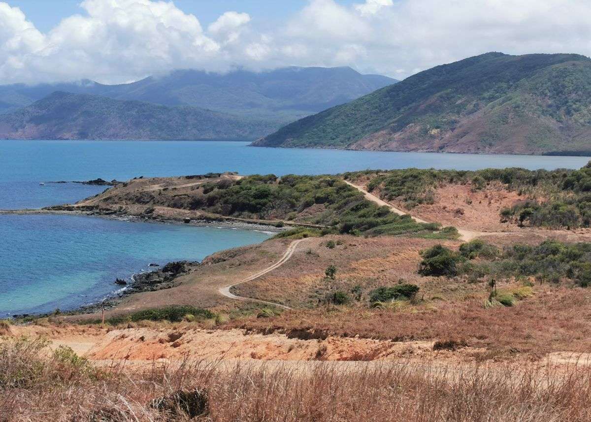
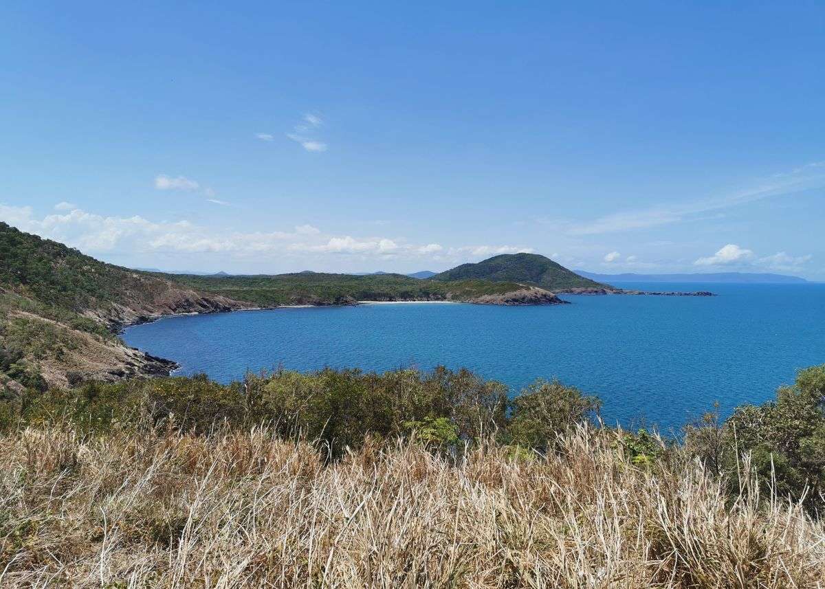
North of Bloomfield & CREB Views 2 - Explore Cape York
North of Bloomfield & CREB Views - Explore Cape York